"Please note that the Santa Claus Parade will no longer travel to Vaughan Hospital." That line sits in the road-closure notes on the City of Vaughan's Santafest page, and it says a lot about where the parade happens now.
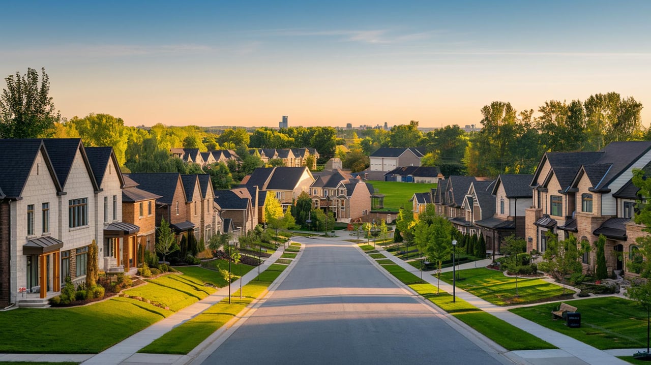
An earlier edition of Vaughan's Santa Claus parade started near Canada's Wonderland, at Major Mackenzie Drive and Jane Street, according to York Region, and travelled east to City Hall. The current Santafest starts somewhere else. It forms up at Springside Road and Melville Avenue, heads north on Melville, turns east onto Major Mackenzie Drive and finishes at Vaughan City Hall, 2141 Major Mackenzie Dr. The whole route runs through Maple, on residential streets and past the plazas where Maple does its weekly shopping.
This year's parade is on Sunday, November 29, from 1:30 to about 3:30 p.m. That gives you two hours of floats. On the streets around it, the day starts more than six hours before Santa arrives.
Sunday, November 29, by the clock
The City publishes its road closures in pieces. Laid out in order, the day looks like this.
| Time | What changes |
|---|---|
| 7 a.m. | Springside Road closes between Parktree Drive and Tracie Court, where the parade forms up |
| 12:30 p.m. | Major Mackenzie Drive West closes between Jane Street and Peter Rupert Avenue. McNaughton Road closes between Major Mackenzie and Cranston Park Avenue, Avro Road between Hudson Drive and Major Mackenzie, and Melville Avenue between Kelso Crescent and Hawker Road |
| 1:30 p.m. | The parade leaves Springside Road and Melville Avenue |
| About 3:30 p.m. | The Springside Road closure ends, with a rolling reopening as the parade moves on |
| Up to 5:30 p.m. | Melville and Major Mackenzie reopen as the parade finishes at City Hall. The listed closure window ends at 5:30 |
For Maple households, the important part is the gap between two hours of parade and five hours of closures. If you live on Springside between Parktree and Tracie, your street closes from breakfast until mid-afternoon. If your Sunday route takes you along Major Mackenzie between Jane and Peter Rupert, it's closed from 12:30 p.m. The City says roads may open earlier once emergency services decide it's safe, so 5:30 is the latest time. It isn't a fixed reopening time.
The City's suggested detours for east-west traffic are McNaughton Road, Keele Street, Teston Road and Jane Street. McNaughton is on the closure list too, but only between Major Mackenzie and Cranston Park Avenue. The rest of McNaughton is the alternate route.
Year two runs half an hour earlier
The parade came back in 2025 after a Member's Resolution from Mayor Steven Del Duca in November 2024 asked City staff to run annual Santafest Parades from 2025 on. York Region reported that it was the city's first such parade since 2019, after pandemic cancellations and other operational problems.
The 2025 date moved once. That same York Region article reported an 11 a.m. start on November 29. Then, on October 30, 2025, the City published a new-date notice moving the parade to 2 p.m. on Sunday, November 30, on the same Springside-to-City Hall route. On December 1, the City's post-event release said families had lined the streets the day before.
The 2026 route is the same as last year's. The start time moves from 2 p.m. to 1:30 p.m., and the 12:30-to-5:30 closure window is the same as last year's. Since last year's date changed less than a month before the event, check the City page in the last week of November before you plan the afternoon around it.
The parking list is shorter so far
The parking list is the change that will matter most to people who drive. In 2025, the City named six free park-and-walk lots. The 2026 page lists four so far:
- Blessed Trinity Catholic Elementary School lot, 230 Hawker Ridge Rd.
- Maple Community Centre lot, 10190 Keele St.
- St. David Catholic Elementary School lot, 240 Killian Rd.
- St. Joan of Arc Catholic High School lot, 1 St. Joan of Arc Ave.
The 2025 list also had Joseph A. Gibson Public School at 50 Naylon St. and Michael Cranny Elementary School at 155 Melville Ave. The City says more lots will be added later. There are no shuttle buses.
If you're coming from the Keele side of Maple, the Maple Community Centre lot is the useful one. It's close to the east end of the route, the stretch nearest City Hall, so you'll be watching the end of the parade there rather than the start.
Two plazas stay open, and the route runs past them
The Fortinos plaza on the south side of Major Mackenzie and the Longo's plaza on the north side will stay open to local traffic where that's safe. The FAQ also says many stores and businesses along the route will stay open for food. Since the route runs through Maple's main shopping strip, places to warm up and eat are right along the curb.
MacKenzie Glen Square, 2810 Major Mackenzie
- Longo's Maple is open Sundays from 7:30 a.m. to 8 p.m. Its in-store options include Starbucks, Bento Sushi Bar and Stove Oven Pizza, along with the bakery counter.
- COBS Bread's MacKenzie Glen Square Bakery, Unit B8, is open Sundays from 6 a.m. to 6 p.m.
- Pizzaville Maple is open Sundays from 11:30 a.m. to 10 p.m.
Farther east along Major Mackenzie
- St. Phillips Bakery is at 2563 Major Mackenzie Dr. W.
- Nature's Emporium Maple, at 2535 Major Mackenzie Dr., is a food market with produce, meat and seafood counters.
- That Pretzel Dough, at 2316 Major Mackenzie Dr., Unit 3, is open Wednesday through Sunday from 10 a.m. to 4:30 p.m., according to Tourism Vaughan's Maple Village guide.
- Farro Ristorante, at 2136 Major Mackenzie Dr., is listed in the same guide. Its address is a few numbers from City Hall's 2141, near the end of the route.
On Keele, around the community centre lot
The Maple Community Centre lot at 10190 Keele St. has food on both sides of it. 9Baci is at 10200 Keele St., next door. A short walk south, Big Bone BBQ & Wicked Wings at 10040 Keele St. is open Sundays from noon to 8 p.m. Maple Bakery lists 10040 Keele Street as its pickup address. If you park at the community centre, you can stop at one of these on the way to the route or on the way back to your car.
What the City allows at the curb
The City's viewing areas are Melville Avenue from Springside Road to Major Mackenzie Drive, and Major Mackenzie Drive from Melville Avenue to Keele Street. Chairs are welcome on the sidewalk but not on the roadway, and alcohol is not allowed. The parade runs rain, snow or shine. Some marching groups hand out giveaways, so bring a small bag. Pedestrian paths along the route stay open and accessible even though cars can't reach the viewing areas.
Anything lost along the route can be dropped off or claimed at Vaughan City Hall, 2141 Major Mackenzie Dr. City Hall is also where the parade ends.
If you'd like another holiday outing first, the City's events list has the Kleinburg Christmas Tree Lighting at Cortellucci Hospice Vaughan on Sunday, November 22, from 4:30 to 7:30 p.m., the weekend before.
If your home is on Springside, Melville or the Major Mackenzie corridor, the closures on November 29 are part of what it means to live on the parade route. The Kevin Lin Realty team keeps track of Maple at that street-by-street level, and we're happy to use that local knowledge in a complimentary home valuation whenever you want to know where your home stands.